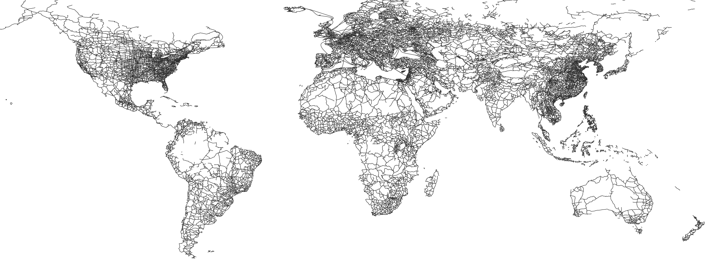
The road file on Natural Earth is a vector dataset that provides information about major roads and highways throughout the world. This dataset is one of several available on Natural Earth, a public domain map dataset that is designed to be used for a wide range of cartographic and geographic applications.
The road file includes data on both primary and secondary roads, as well as major highways and freeways. The dataset contains a variety of attributes that provide additional information about each road, including road class, name, and the number of lanes.
The data in the road file is organized into layers, with separate layers for primary roads, secondary roads, and major highways. Each layer includes lines that represent the roads, along with associated attribute data.
The road file on Natural Earth is a valuable resource for a wide range of applications. It can be used by researchers, cartographers, and others to create maps that show the distribution of major roads throughout the world, and to perform spatial analysis on road networks.
The road file is also useful for businesses and organizations that need to plan transportation routes, as well as for governments and emergency responders who need to quickly access information about major roadways during natural disasters or other emergencies.
Overall, the road file on Natural Earth is a comprehensive and valuable dataset that provides information on the world's major road networks. Its detailed and up-to-date information makes it a powerful tool for a wide range of applications in fields such as geography, cartography, and transportation planning.