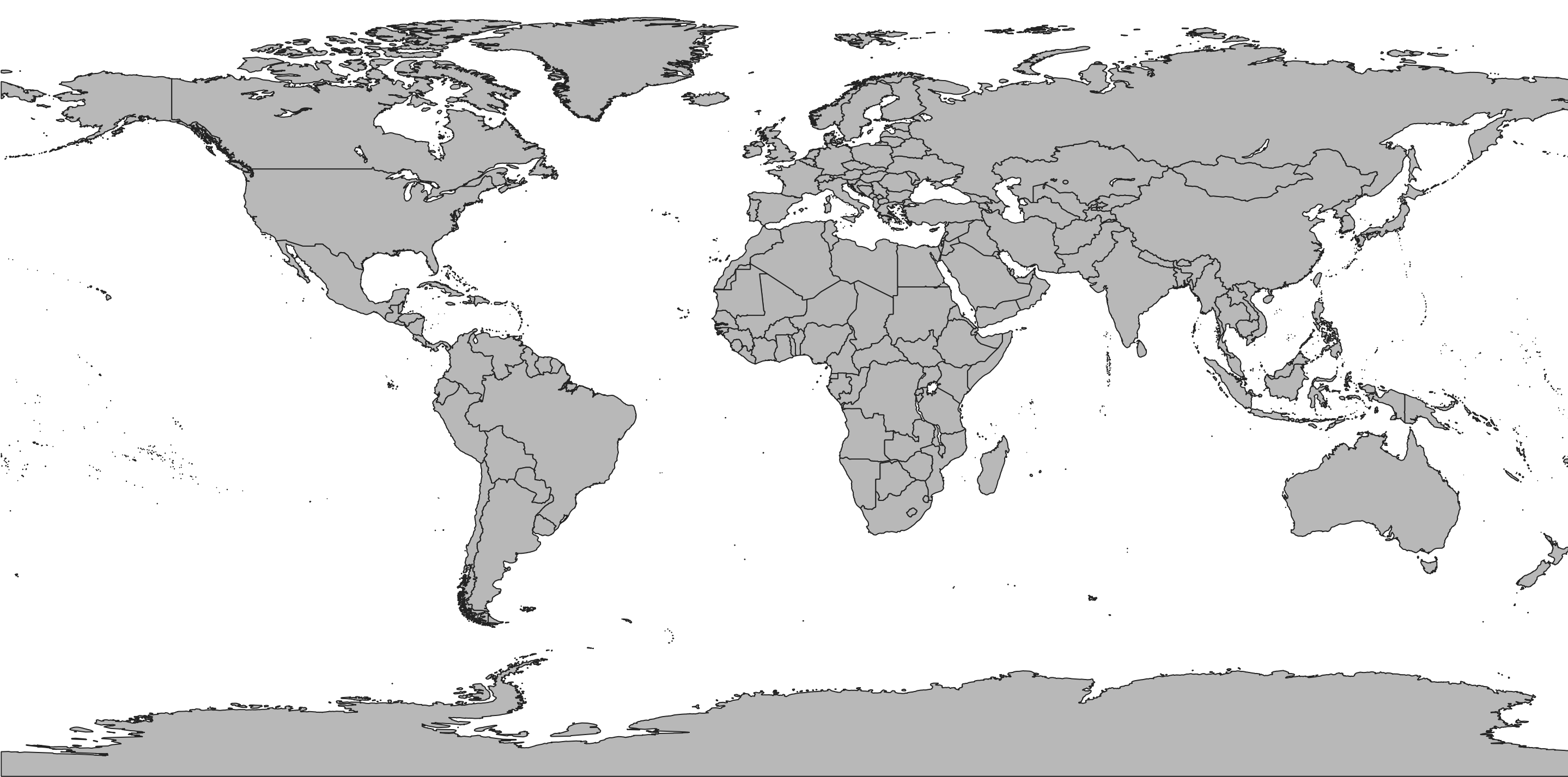
"Countries of the world (258). These files are based on de facto boundaries by default according to the control of the territory versus de jure. This file excludes lake territory removing portions of territorial polygons that would normally include areas over water.
Countries distinguish between metropolitan (homeland) and independent and semi-independent portions of sovereign states. If you want to see the dependent overseas regions broken out (like in ISO codes, see France for example), use map units instead.
Each country is coded with a world region that roughly follows the United Nations setup. Countries are coded with standard ISO and FIPS codes. French INSEE codes are also included. Includes some thematic data from the United Nations (1), U.S. Central Intelligence Agency, and elsewhere."